Skype: neodalle-travel
Tel: +86 135 7447 2266
E-mail: sales@zhangjiajieholiday.com
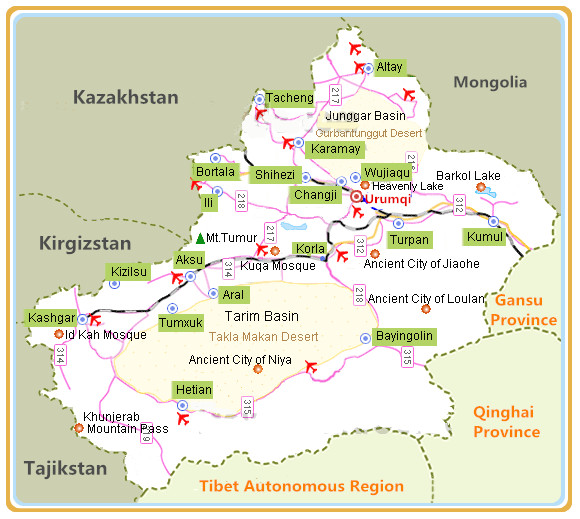 Aksu Prefecture is located in the southwest portion of Xinjiang Uygur Autonomous Region. It shares a 235 kilometers-long boundary to the northwest with Kazakhstan and Kyrgyzstan. In the south, it is separated from Hotan by the Taklamakan Desert.Aksu lies in the west part of Xinjiang, on the western brim of the Tarim Basin and the southern foot of the Tianshan Mountations,and borders Kyrgyzstan on the northwest. Aksu City is the seat of the prefecture committee of the part and the prefecture Administrative Office.
Facts of Aksu
Chinese Name: Aksu Prefecture
Abbreviation: 阿克苏地区 (ā kè sū dì qū)
Location: in the west of Xinjiang Region
Climate: temperate continental arid/ semiarid climate
Average Annual Rainfall: 165.6 millimeter
Area: 132,500 km²
Population (2016): 2,310,000
Major Ethnic Group: Uygur,Han
Administrative Division: 8 counties (Wensu, Kuqa, Xayar, Toksu, Bay, Uxturpan, Awat, Kalpin); 2 cities (Aksu, Alar)
Seat of the Prefecture Government: 3, Xi Da Jie,Aksu City
History of Aksu
Aksu, meaning“white water” in Uygur. Before the Han Dynasty (206BC – 220AD) brought the region under the central government in 60 BC, several kingdoms existed here. The Protectorate of the West Region (Xiyu Douhufu) was established by the court with Aksu as its political, economic, military and cultural center. On the ancient Silk Road, the city became important as a connecting point for Central China with Central Asia and West Asia.
What to see in Aksu?
Aksu Prefecture lies at the south foot of Tianshan Mountain on the north edge of the Tarim Basin. The Tianshan Mountains are in its north while the Taklamakan Desert lies to its south. Agricultural output includes melons; walnuts; apples; pears and apricots. Uygur apparel featuring folk costumes; riding boots and embroidered caps and waist bands. With a long history and beautiful landmark, Aksu has many attractions. Islam is the chief religion in the region. The Corban Festival on the tenth day of the twelfth month and the Ramadan Festival in the ninth month of the Islam calendar are the most important festivals during the year. Corban is also called the 'butchering' festival since it features the sacrifice of livestock. During Ramadan, Muslims avoid eating in the daytime. They usually take two meals a day—one before dawn and one after dusk. In addition, the Qiuci Culture and Tourism Festival is celebrated from June to August. Tourists and business travelers from far and near attend to witness unique folk performances. Here lists Top Attractions in Aksu
 |
 |
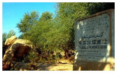 |
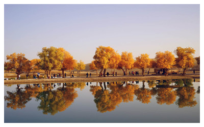
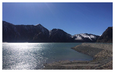
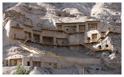
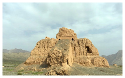
| Tarim River | Big Dragon Ponds | Ancient Qiuci City |
 |
 |
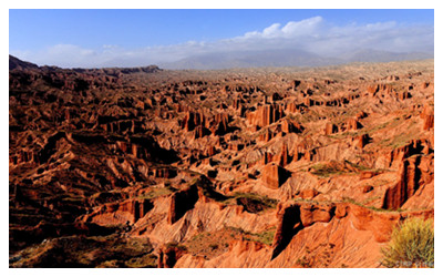 |
| Kizil Thousand-Buddha Caves | Subashi Ancient Town | Wensu Tuomuer Canyon |
 |
 |
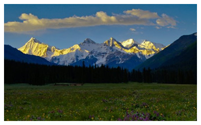 |
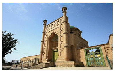
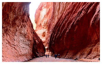
| Kuqa Mosque | Tianshan Mystic Grand Canyon | Tomour Peak Natural Reserve |
How to get there?
In recent years,various landscapes via high way, railway and air, all make Aksu an attracting point to numberless tourists domestic and abroad every year.
By Air: Aksu Airport is 10 kilometers north of the city center. It operates two to three scheduled flights a week to Urumqi. Additionally, there are four flights a week between Urumqi and Hotan that connect in this airport.
By Train: The south Xinjiang Railway has been extended southwestward to Kashgar. There are conveniently scheduled trains from Urumqi, Kashgar and Lanzhou to Aksu. The Aksu Railway Station is located six kilometers southeast of the city center. High-speed trains take about sixteen hours from Urumqi to this railway station.
By Bus: Being the traffic hub of southern Xinjiang, Aksu's network of roads is well developed. Visitors can find the city's main bus station on Wuka Zhong Lu.
When to visit Aksu?
The region's climate is dry and chilly in the winter and arid and torrid in the summer. Temperatures vary greatly between day and night. While there is abundant sunshine, the area gets inadequate rainfall. The average annual temperature is around 10  C– 11
C– 11 C. September and October are the best times to visit the region.
 Ask Questions ?