Turpan Overview
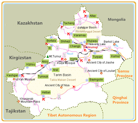
 Turpan, also Turfan, 180 kilometers southeast of Urumqi in the east part of Xinjiang,is located in the Turpan Depression at the southern foot of Tianshan Mountains.As one the popular toursim city and a n important stop on Silk Road Tour,Turfan is a traffic hub linking the southern part and northern part of Xinjiang together and linking Xinjiang with the hinterland of China.
Turpan Facts
English Name: Turpan, Turfan
Chinese Name: 吐鲁番 (tǔ lǔ fān)
Location: in the east of Xinjiang
Area: 69,700 square kilometers (26,911 square miles)
Population: 572,000
Area Code: 0995
Zip Code: 830000
Administrative: Turfan is prefecture city which includes gaohcang District, Shanshan County and Toksun County
History of Turfan
 According to historical records, the native inhabitants in Turfan are Gushi people. In 60 B.C., the kingdom of Cheshi submitted to the authority of the Han Dynasty. The Governor-General Government for Controlling the Western Regions was established in the same year and Zhen Ji was appointed as the first Governor-General. In 48 B.C., the Han Dynasty set up the Wuji Xiaowei Military Office in Jiaohe City in Anterior Cheshi to control the reclaiming affairs in the Western Countries.
In 499 A .D., Turfan came into the period of Qu`s Gaochang Kingdom. In the 14th year of Zhenguan period ( 640A .D.) of the Tang Dynasty ,the Gaochang Kingdom was conquered and the West Prefecture was set up here.In 866 A .D., the Gaochang Uighurian Kingdom was set up here, which took the Gaochang as its center, and kept unconquered until submitting to Genghis Khan, then Uighur was renamed “Wei-Wu-Er”.
In the 10th year of Guangxu period of the Qing Dynasty ( 1884A .D,), Turfan Department was established, which was renamed Turfan County in 1913.
Geography of Turpan
The lowest place in the depression is 154 meters below sea level. Turfan Prefecture has a continental dry desert climate and has long been known as the “ Prefecture of Fire ” and “ Wind Storehouse”. Turpan Depression is one of the few places in the world that are below sea level.The depression is a long, narrow stretch of land, fifty thousand square kilometers in area, with Bogda Mountain on the north and Kurultag Mountain on the south. There is a salt lake in the depression, Aydingkol Lake, where the crystallized salt surface is 154 meters below sea level. Another memorable sight is Fiery Mountain, meters below sea level.
Culture of Turfan
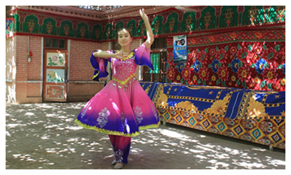
 Speaking of Turfan, people naturally think of the song “Turfan's Grapes are ripe”. The folk dance in Turfan is famous for its grace, nature, lightness and cheerfulness. Under grape trellises in summer, loud and clear sounds of tambourines and Suona horns, graceful dance, and affecting “Meshrep” can clear up the hotness and refresh you after you journey.
Toursim of Turpan
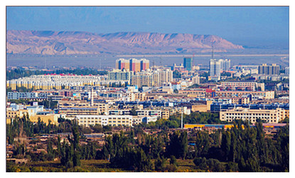
Turfan is a town of military importance on the Silk Roads, rich in historical relics of Chinese and Western types both on ground and underground. Today, Turfan has been built into a beautiful oasis garden city, not only features in history and civilization of the ancient Silk Roads, but also presents modern elegant demeanors. Now Turfan is an important base of grape, cotton, Hami melon and oil of the autonomous region and even in our country.
Welcome to Xinjiang,Let's meet in Turpan!


 Ask Questions ?